It was about a month ago when we last hiked Jewel Basin, and I thoroughly enjoyed it. Now that Kyra’s best friend Hannah is visiting for the week, we decided to head that way again. They wanted to summit Mt Aeneas, the highest peak in the area (at 7,500 feet). We donned our trail runners and headed out.
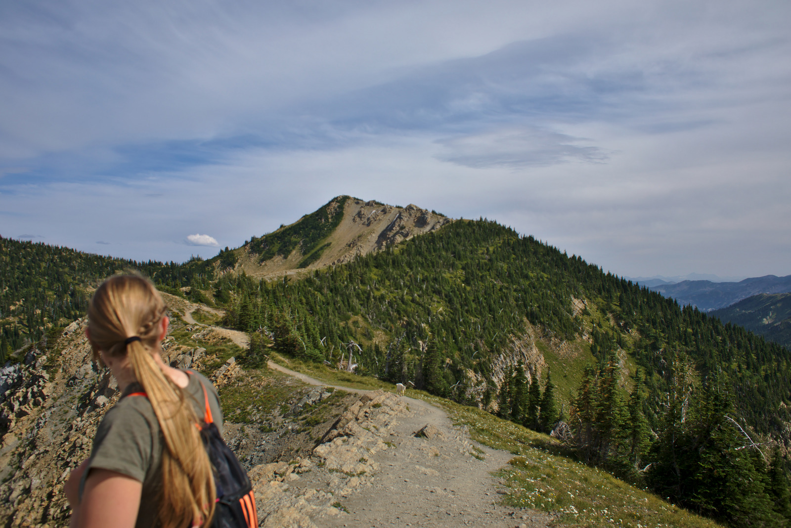
The first few miles were pretty tame: a wide trail with a fairly easy upward slope. But the last mile or so was where the trail earned its “strenuous” rating. It climbed through the forest with switchback after switchback, finally coming out on a ridge that runs upward to the peak. Here’s Kyra surveying the last half-mile of the route:
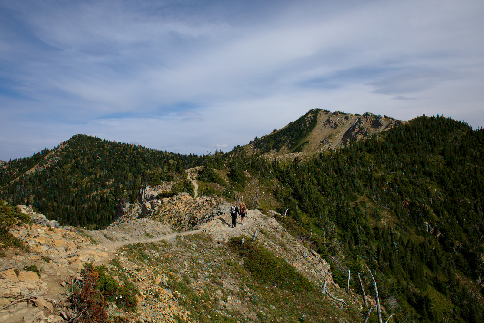
The summit is the highest point, of course. Already pretty tired, she and Hannah heaved a sigh and set off.
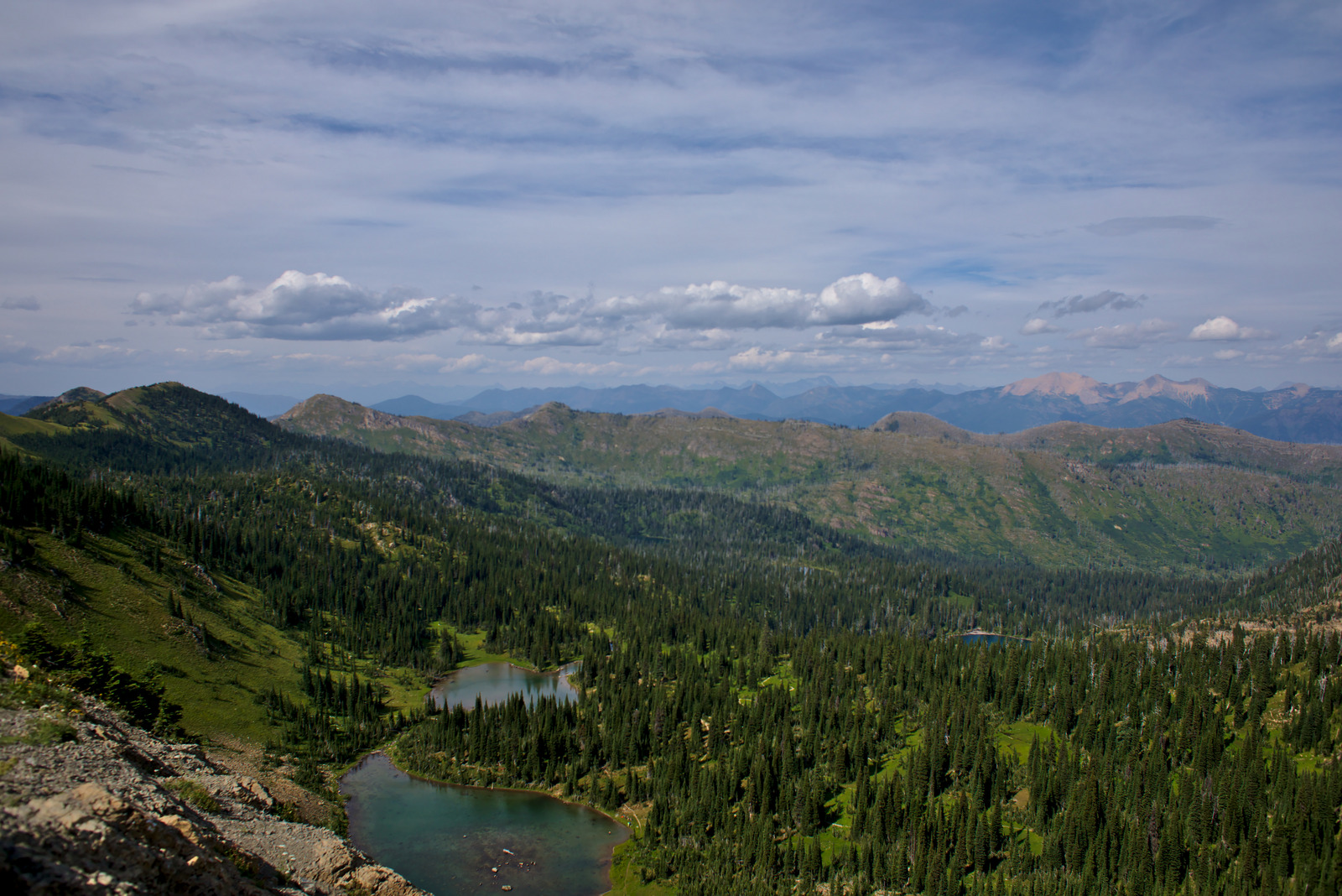
Despite the difficult climb, the peak was worth every calorie getting there. The views were astounding. To the north are the Picnic Lakes and probably Canada.
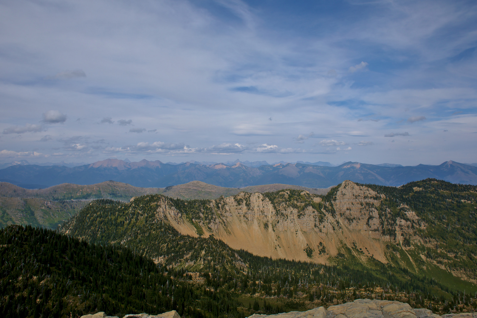
To the northeast, the peaks of Glacier are visible.
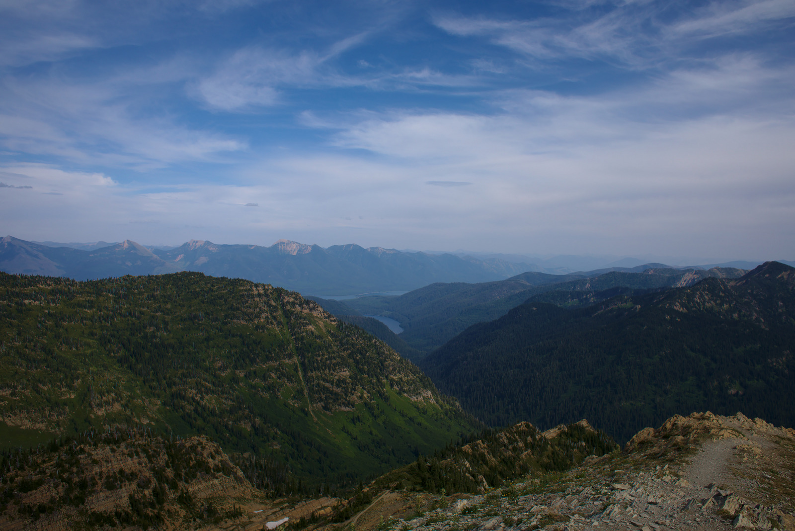
The southeast features Hungry Horse Reservoir, an enormous man-made lake (it’s visible in the distance, just before the mountain range).
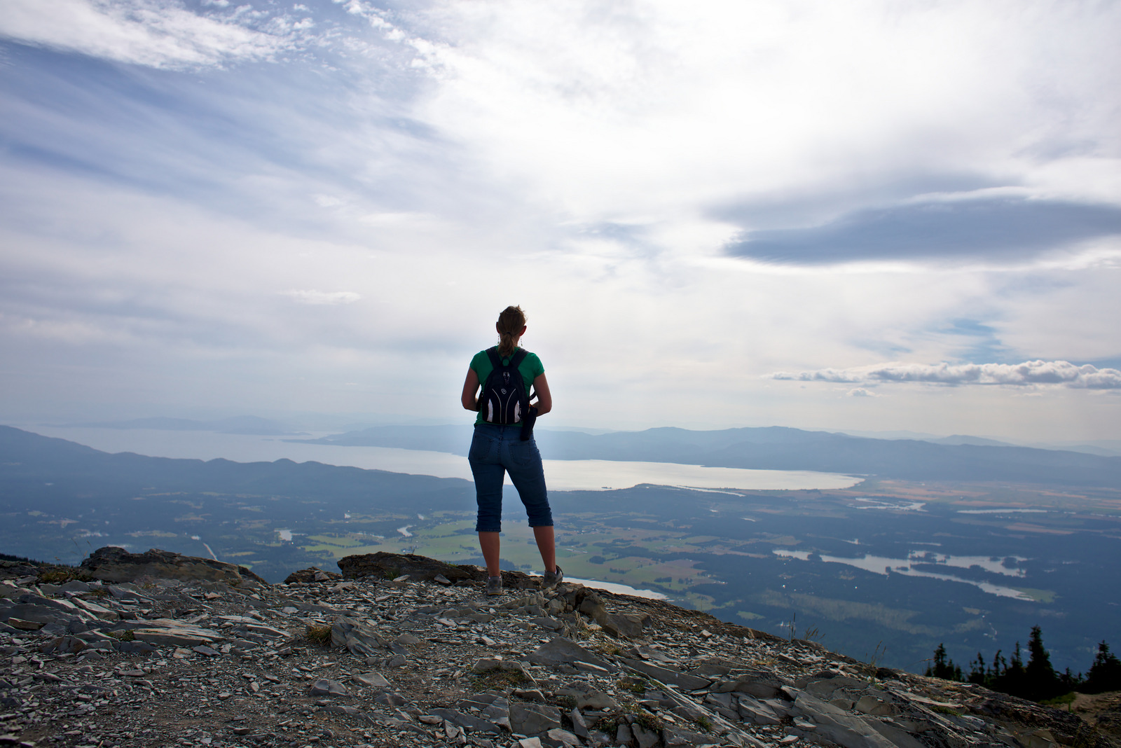
And to the west, the always beautiful Flathead Valley. Here’s a shot of Pepper overlooking the land below. Flathead Lake is, of course, the huge body of water in the center. It makes Echo Lake, a popular tourist spot, look like a tiny pond (it’s in the lower right). We could also see the Flathead and Swan Rivers. Pretty awesome.
Kyra and Hannah took a few minutes to catch their breath at the top, and then posed for a picture.
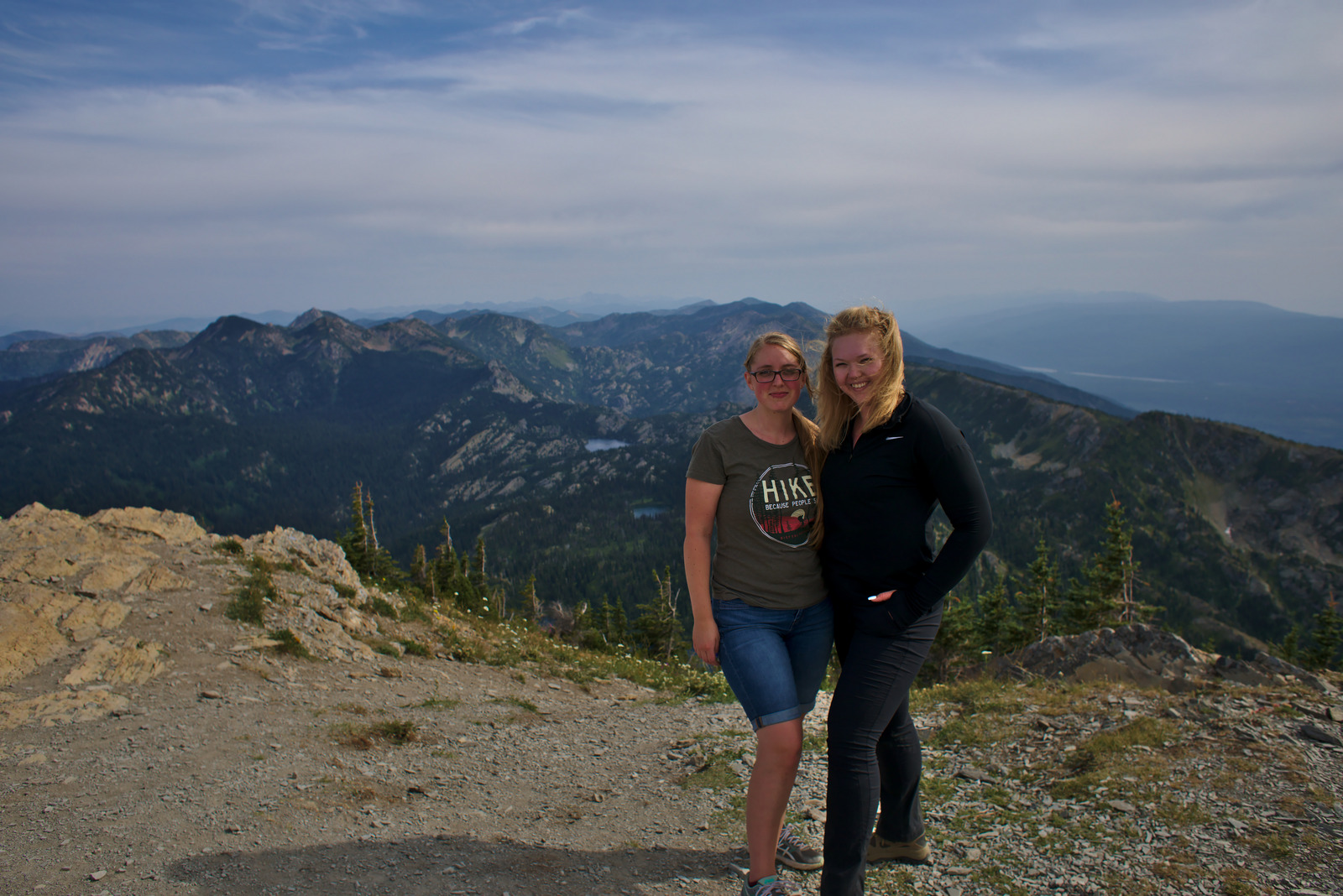
It’s always cool to summit a mountain. “Top of the world, baby!”